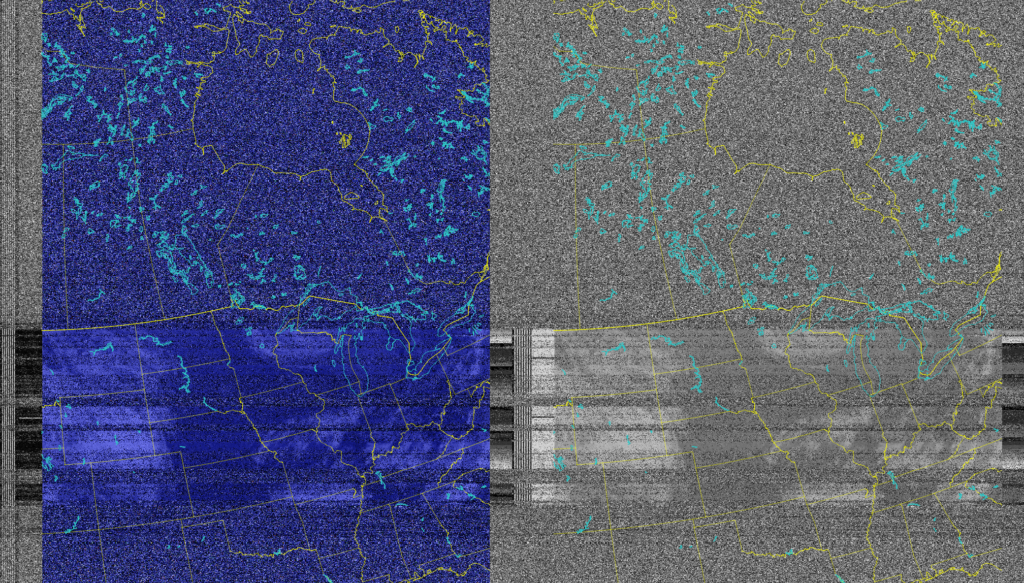
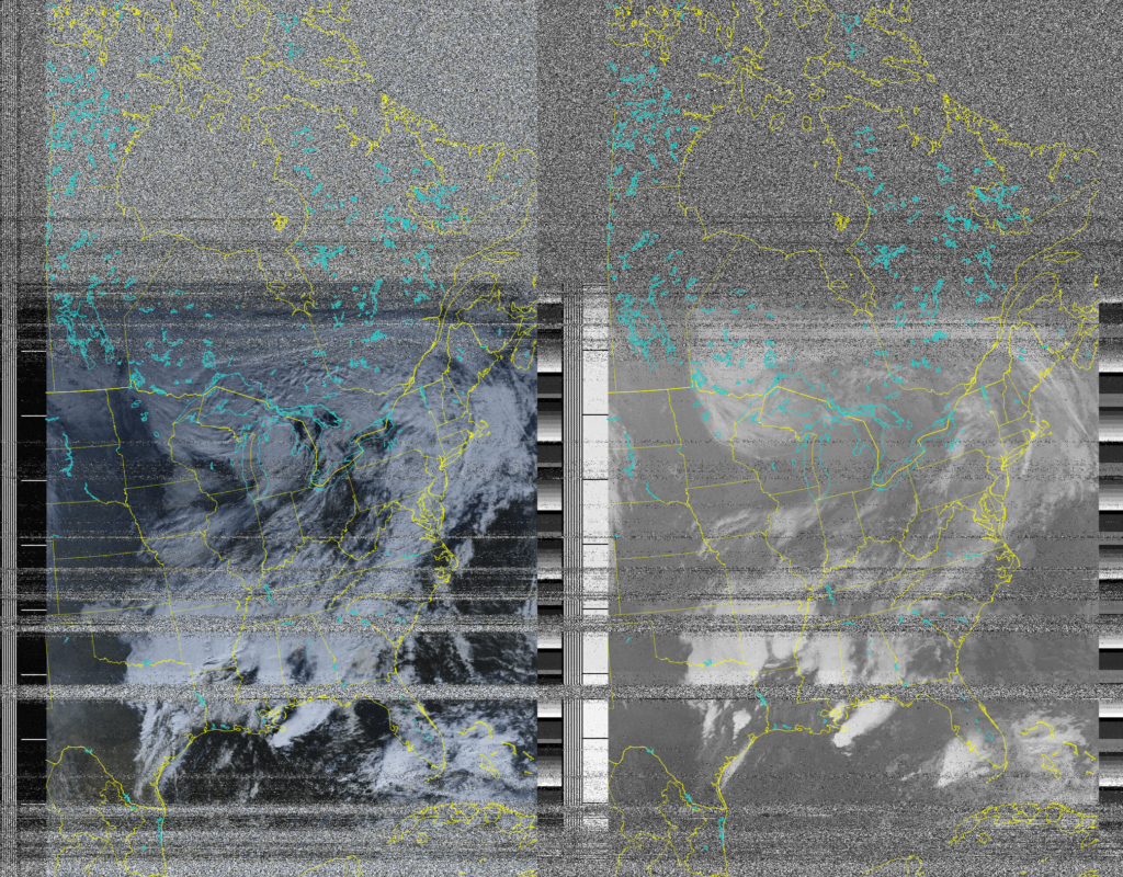
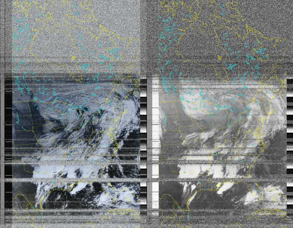
This page was created to show off the images from various satellites. The NOAA satellites are no longer active but was lucky to be the last few to view the data from them. The data will serve as archive purposes.
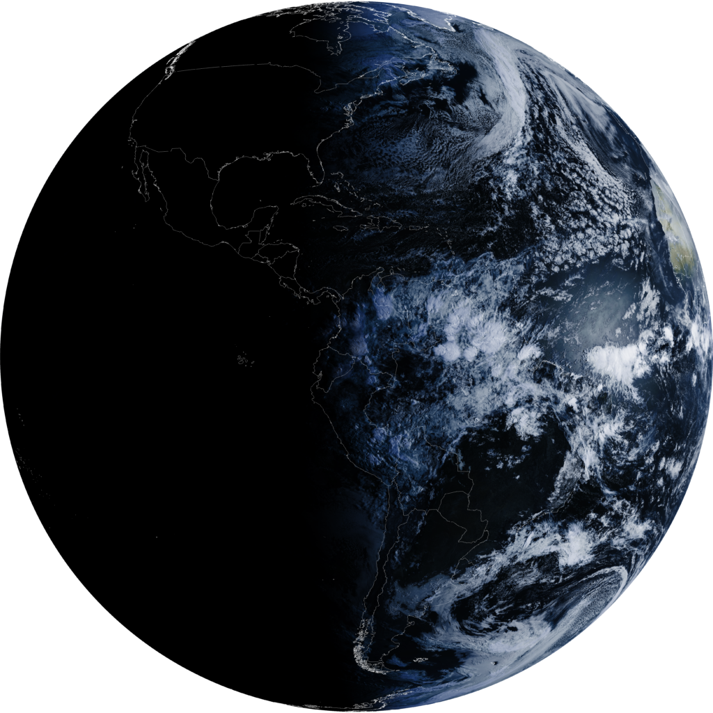
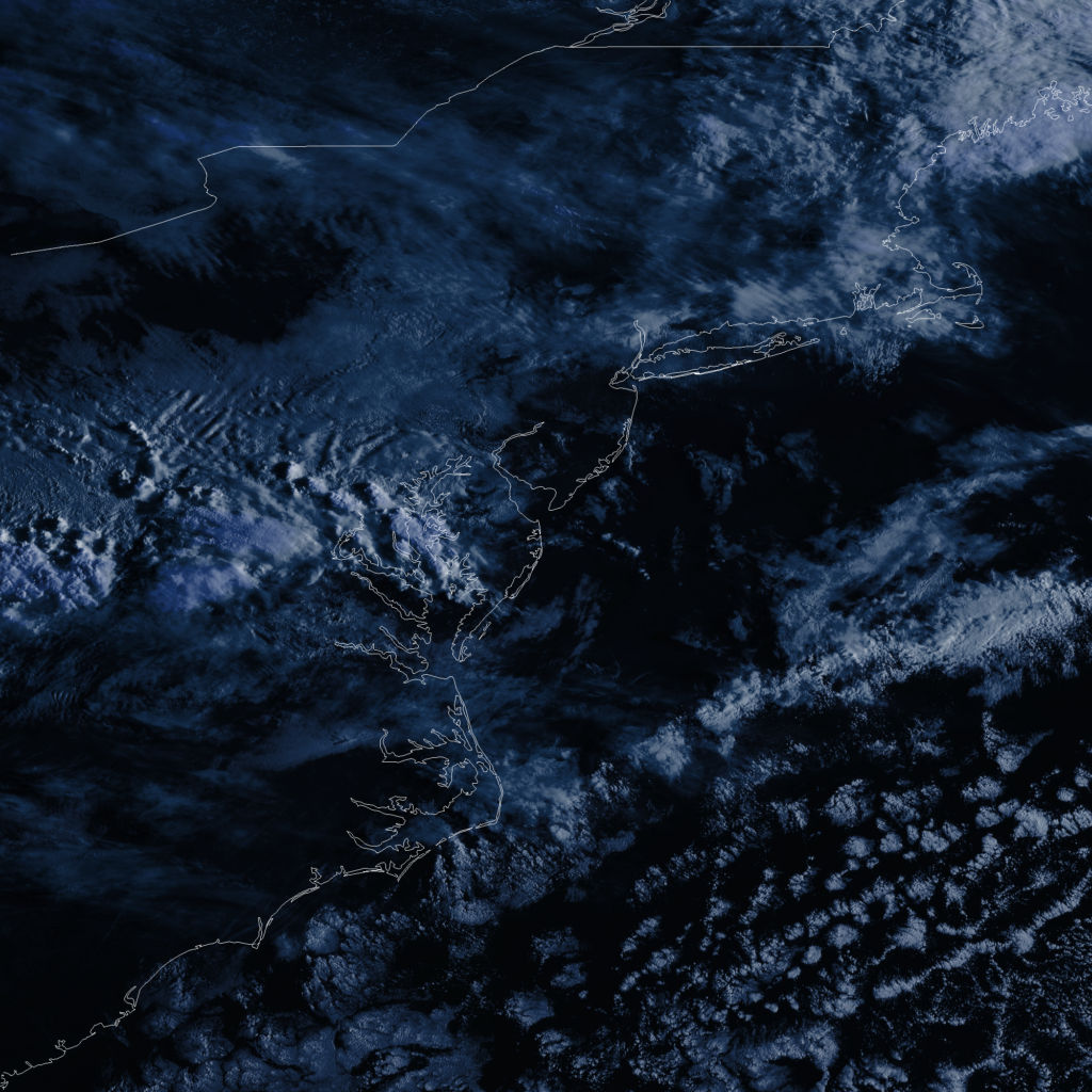
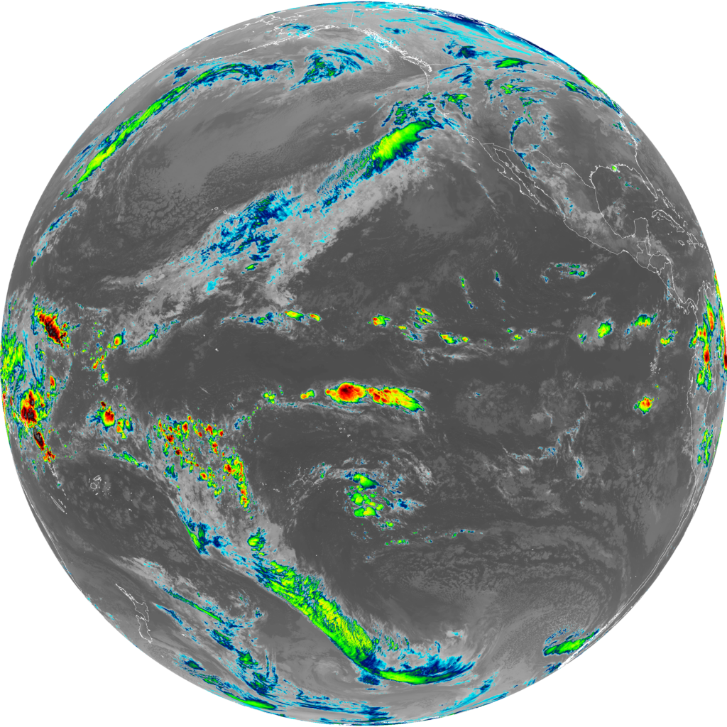
The more current and newer data on top of this page is from GOES-19 and GOES-18 as of 3/30/2026. Setup can be found on the post – https://ki4kao.net/2026/03/28/nooelect-goes-satellite-dish-with-nesdr-smartee-xtr-on-linux/
Data and images from GOES19 and GOES18 can be freely be viewed, downloaded, shared/distributed without consent as the data is under license by NOAA and NWS.
Click here to access the satellite data.
GOES19 / GOES18
NOAA15 /NOAA18 / NOAA19
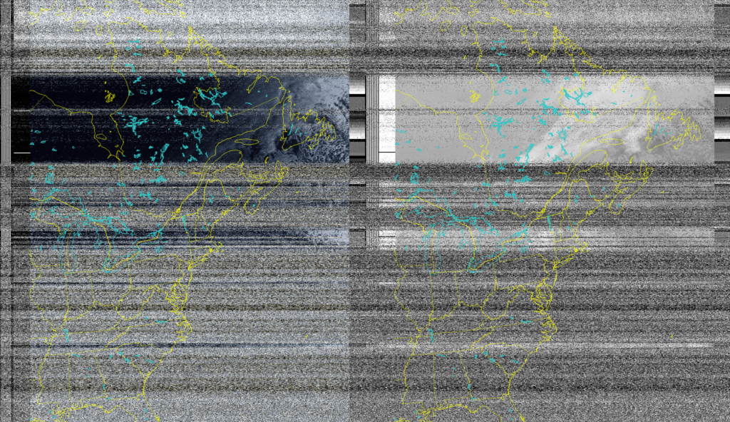
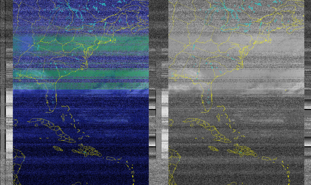
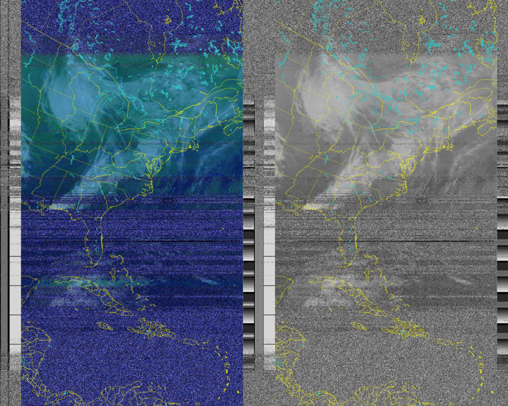
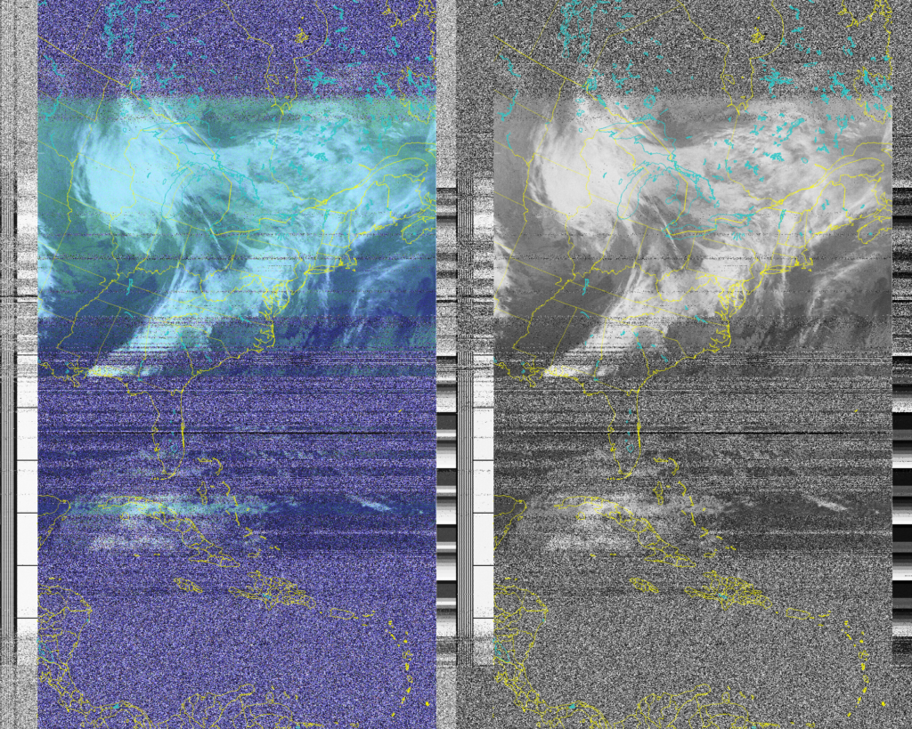
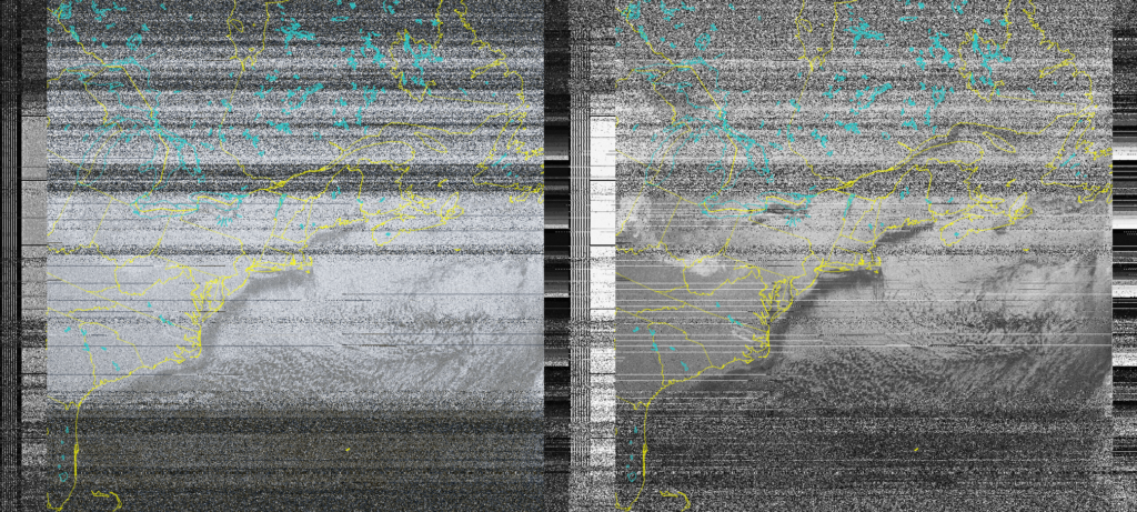
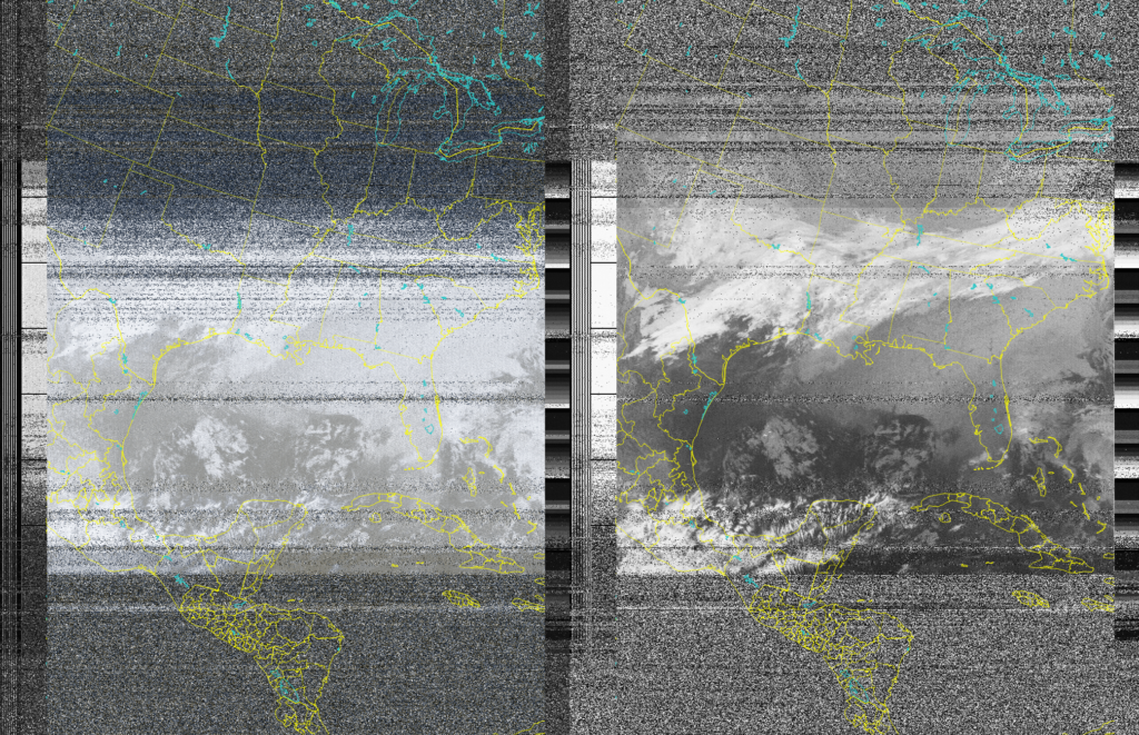
On 12/22/2024 I decided to use my SDR and light reading regarding NOAA satellite images captured easily. I decided to put this to the test and although I randomly just started and read post by other people on how their first capture’s of the NOAA APT was not good, I was able to get my first capture on my first try!
Originally, I was using a blog v4 connected to a dipole which was fed through DragonOS vmware on SDR++. Using apps such as Look4Sat, GPredict, NOAA-APT. The two images below are from that setup on my first try.
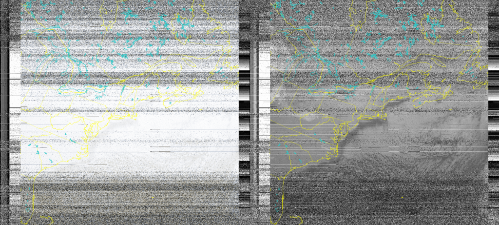
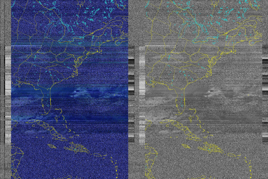
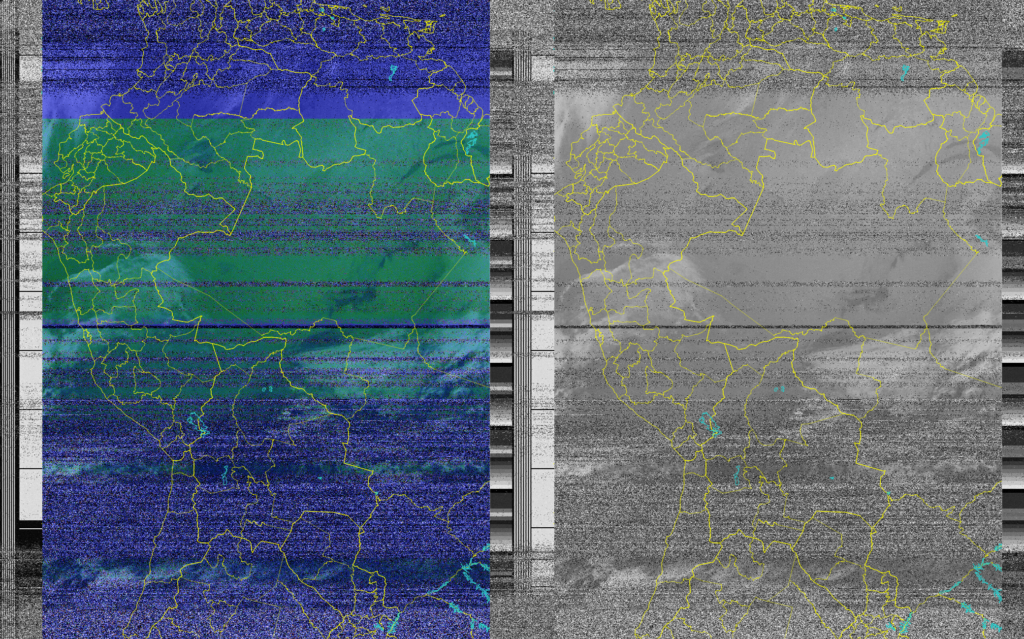
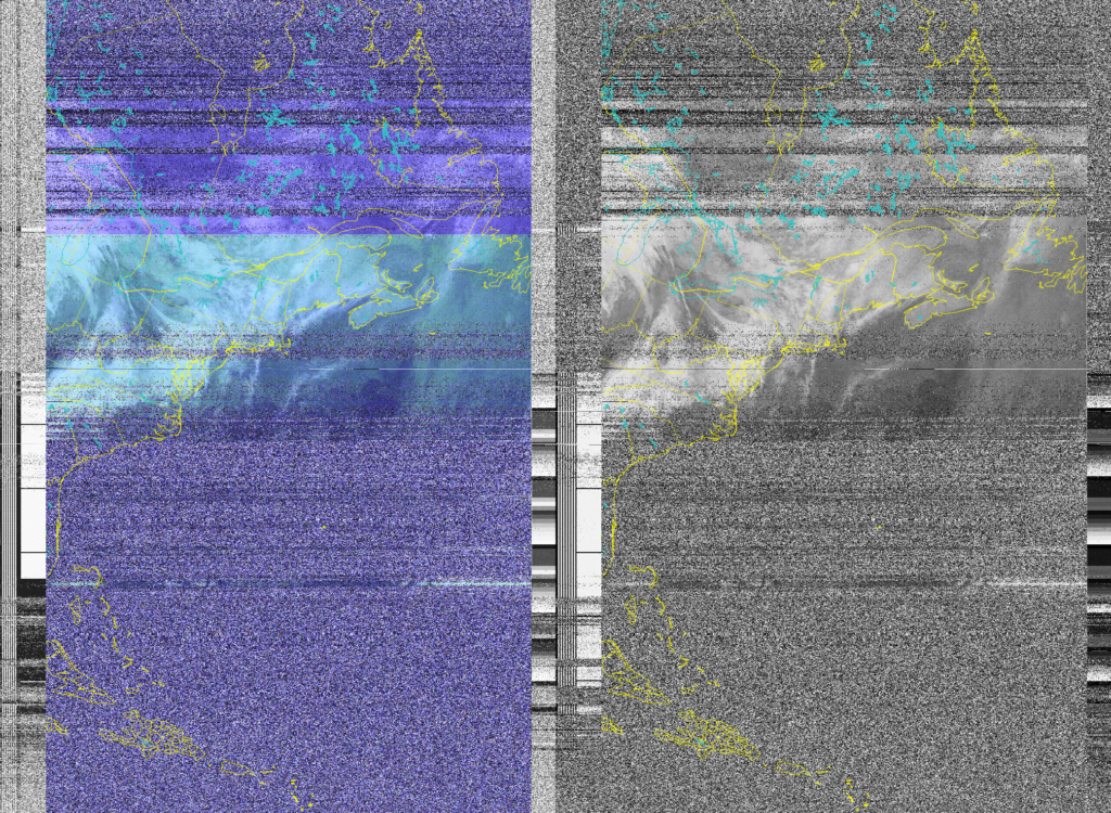
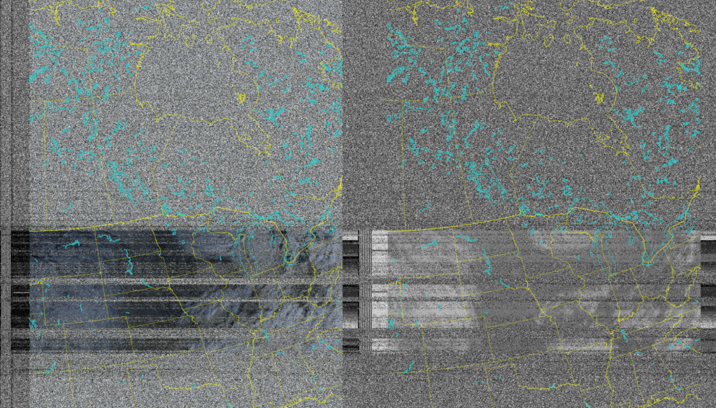
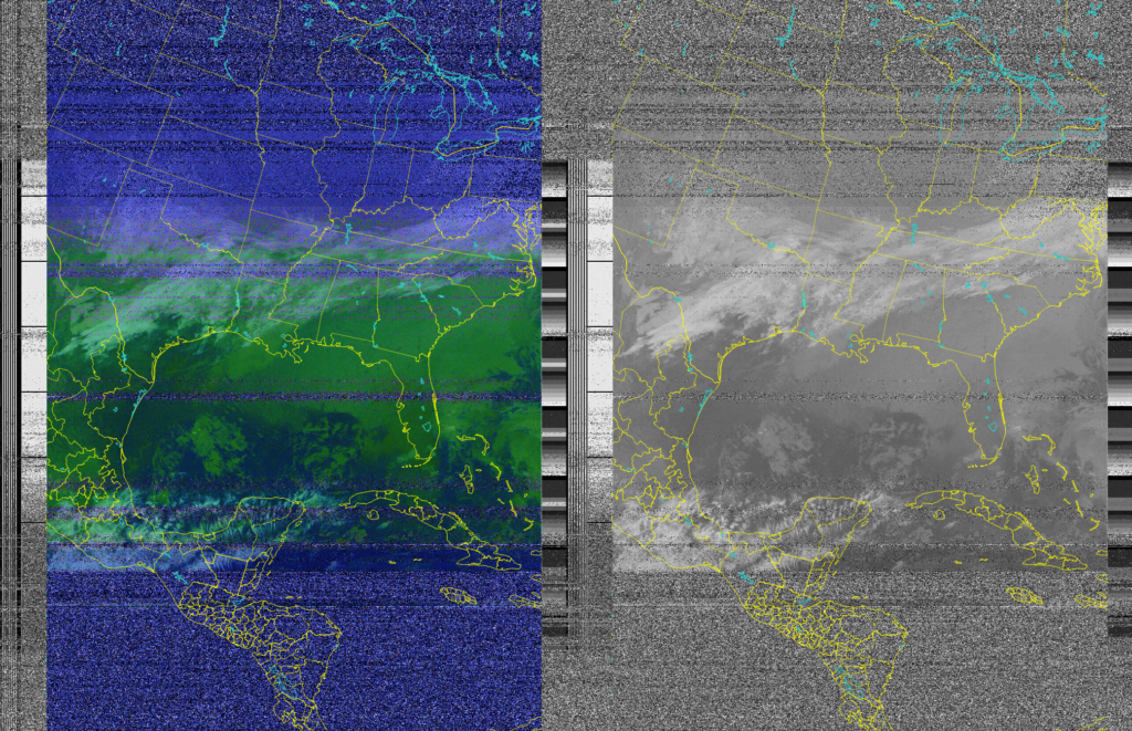
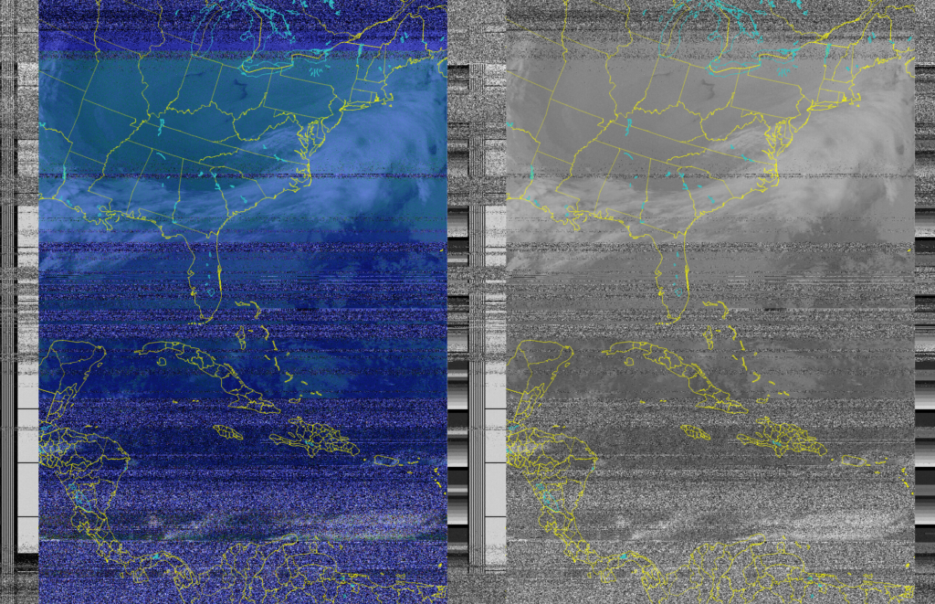
On 12/23/2024 I once again started. I fired up the popular app Look4Sat on my Samsung s22, Fired up GPredict on DragonOS vmware but this time i switched from my blog v4 running on a horizontal dipole to the SDRmini connected to an omnidirectional small antenna (the same one I been using for NOAA weather radio). The outcome was purely amazing! Also, I tweaked the settings in noaa-apt to get a better final image as you can see from the last two images below.
I also took a quick video of capturing the NOAA 19 satellite as well for a video documentation. I find this very fascinating and will continue to improve on this with my SDR’s.